See your forest carbon with absolute clarity.
Satellite-powered canopy height measurement calibrated by airborne LiDAR. Finally, know exactly how much carbon your forest is storing—without the cost and delay of manual field surveys.
Traditional forest carbon estimates leave you exposed.
Whether you're issuing credits or buying them, unreliable biomass estimates create regulatory and reputational risk. Ground surveys are expensive and infrequent. Satellite indices alone lack validation. And static carbon maps miss the changes that matter.
Expensive & Slow
Manual field surveys cost thousands per site and take months to complete.
Unreliable Indices
Optical greenness confuses crops for forests and misses degradation entirely.
Outdated Maps
Static biomass estimates can't detect the disturbances that threaten permanence.
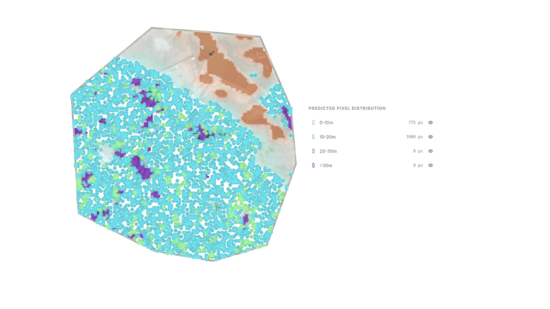
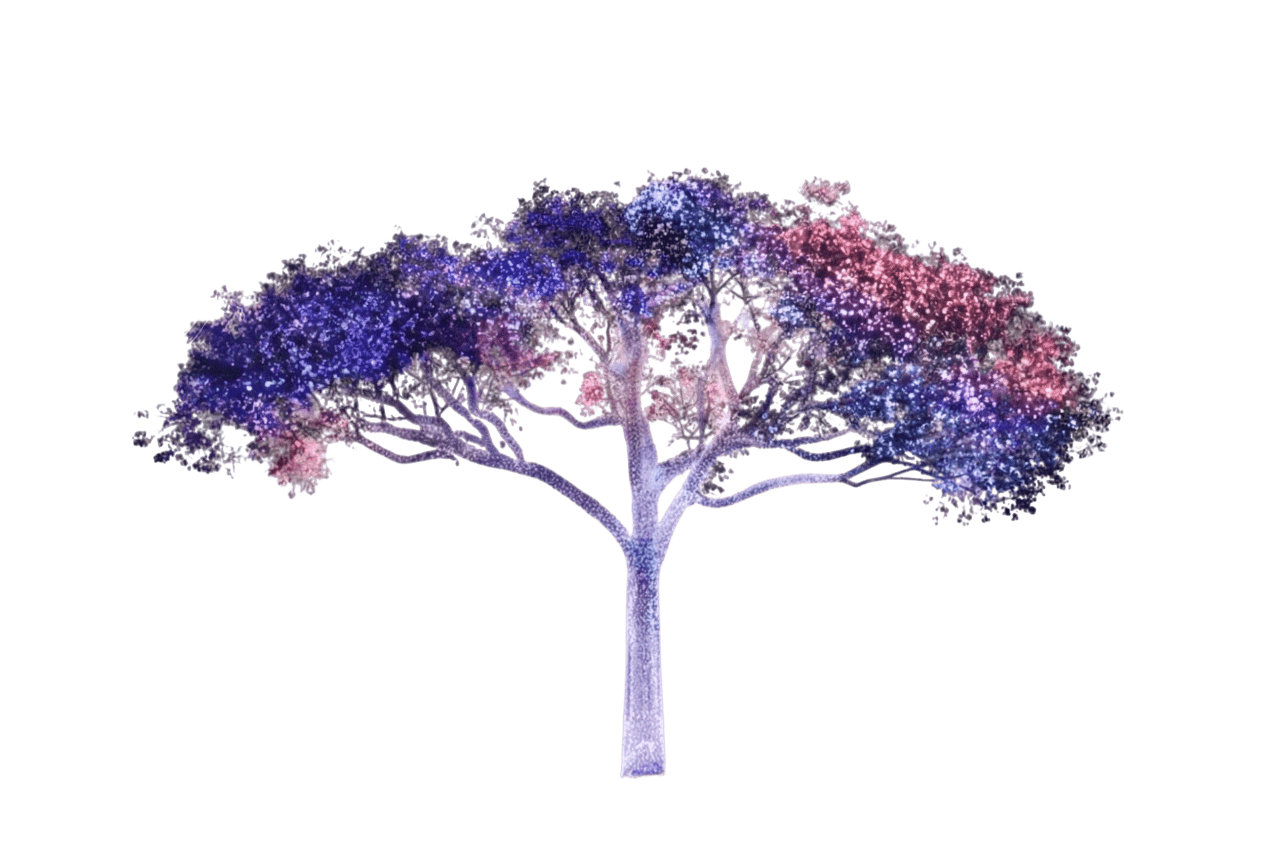
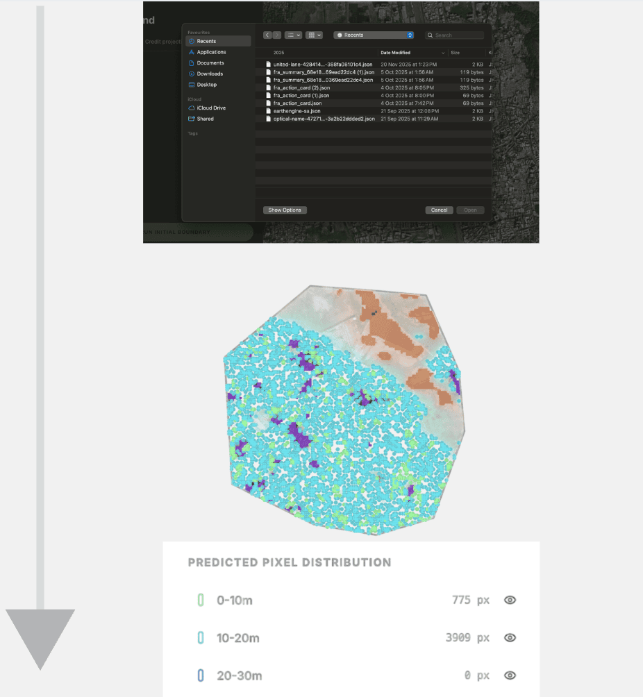
Canopy height measurement you can bank on.
We combine satellite imagery with spaceborne and airborne LiDAR to deliver annual canopy height maps.
This isn't theoretical modeling—these are measurements validated against actual laser scans of the forest. Understand forest structure from 2000 to present, anywhere in the world, with uncertainty quantified for every hectare.
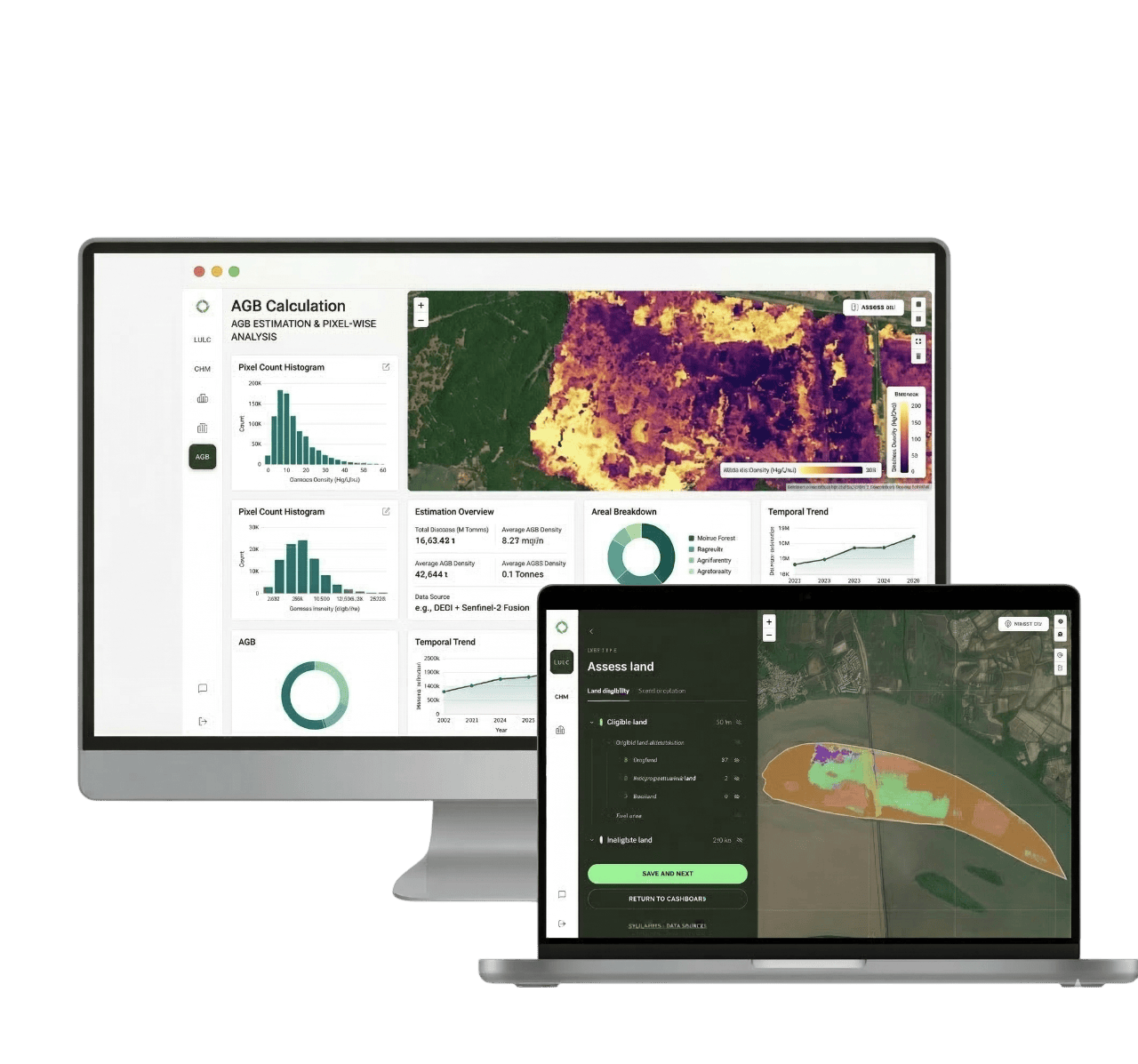
From raw signal to structural certainty.
Ingest
We pull multi-source satellite data—optical, radar, and LiDAR—for your specific area of interest.
Calibrate
Our AI models learn from millions of GEDI and airborne LiDAR measurements to ground-truth the satellite signals.
Measure
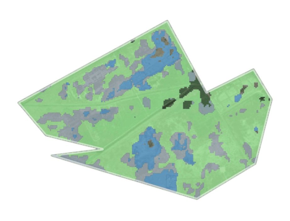
Generate annual canopy height maps showing precise tree growth and structural change year-over-year.
Validate
Every pixel carries confidence intervals. We quantify uncertainty so you can defend your numbers in any audit.
Why canopy height beats traditional biomass proxies
Direct Measurement
We measure physical tree height, not spectral greenness—which often confuses crops for mature forests.
LiDAR-Calibrated
Every pixel is grounded in actual laser measurements from GEDI and airborne surveys, not modeling assumptions.
Uncertainty Transparent
We tell you exactly how confident we are in every measurement—critical for audit trails and risk management.
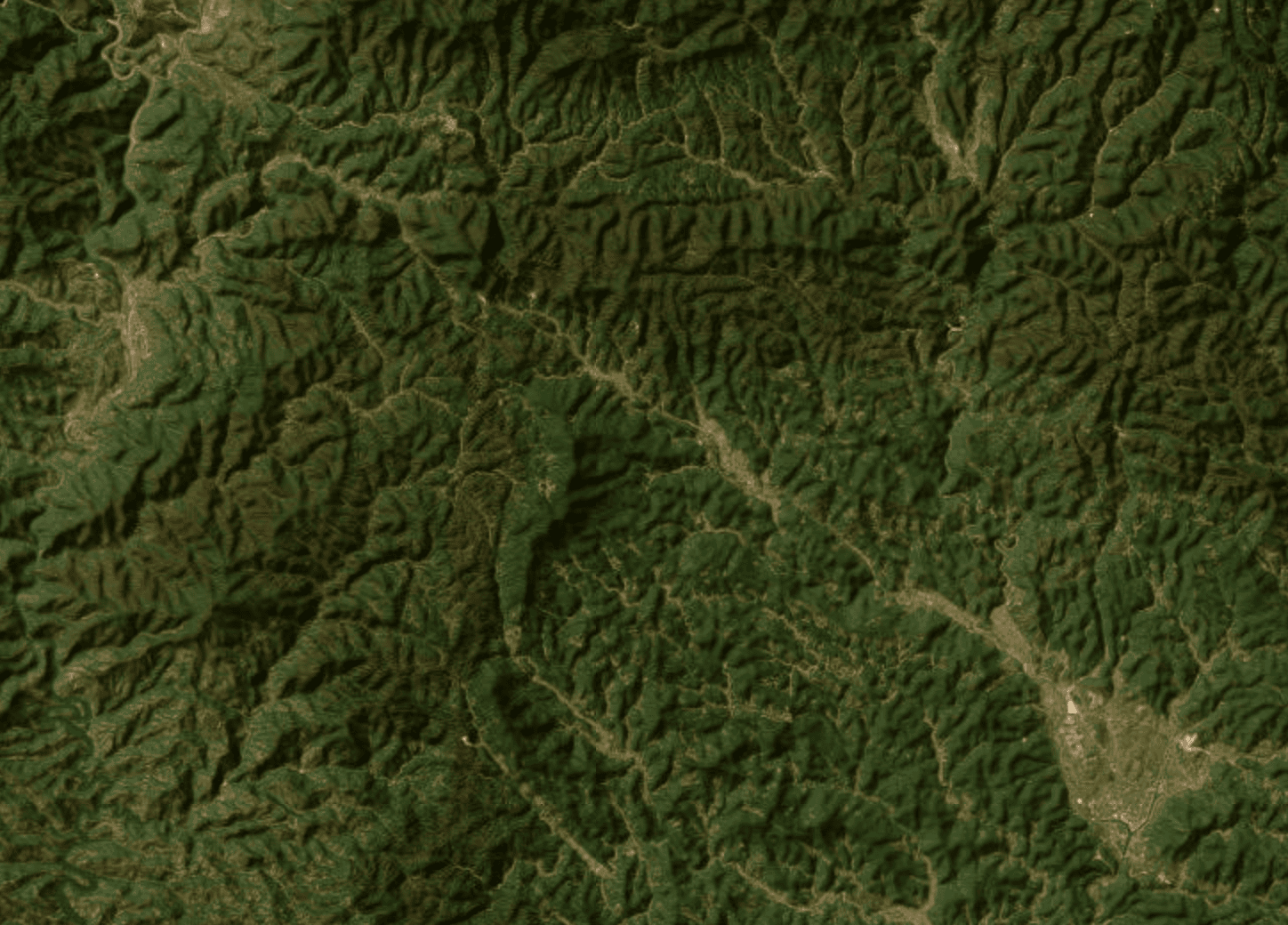
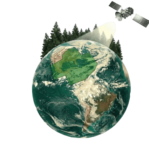
From the Amazon to your backyard.
Historical analysis back to 2015 (extending to 2000), covering tropical rainforests, temperate woodlands, and plantation projects. If it has canopy, we can measure it.
 Verified Carbon Standard
 Integrity Council
-nbGJm8Y8.png) Indian Carbon Market
Indian Carbon Market Certified CreditsVerified Carbon StandardIntegrity CouncilIndian Carbon MarketCertified CreditsVerified Carbon StandardIntegrity CouncilIndian Carbon MarketCertified CreditsVerified Carbon StandardIntegrity CouncilIndian Carbon MarketCertified Credits
Export data directly to major carbon accounting platforms. Our canopy height layers integrate with VM0047 methodologies and align with emerging IC-VCM integrity guidelines.
Understanding Forests at Planetary Scale
"Sylithe develops advanced geospatial models that convert satellite data into quantifiable insights on canopy structure, biomass, and carbon dynamics. Through AI-driven analysis and transparent methodologies, we aim to improve how forests are measured, monitored, and understood globally."
FAQs
What is a Canopy Height Model (CHM)?
Why is CHM important for measuring forest carbon?
How does Sylithe generate CHM without drones or airplanes?
Is satellite LiDAR accurate enough for carbon credit verification?
How does CHM help in ARR (Afforestation) projects?
Can CHM data replace manual forest inventory?
Stop estimating.
Start measuring.
Get a sample canopy height analysis for your project area and see the difference that validated measurement makes.