For years, critics argued that REDD+ developers could game the system by choosing convenient reference regions. VM0048 is Verra’s definitive response.
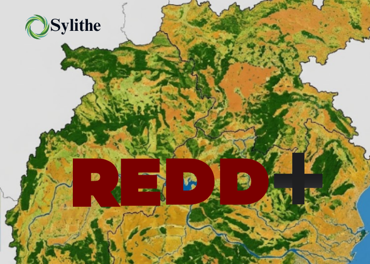
The voluntary carbon market’s credibility crisis of the early 2020s was, to a significant degree, a REDD+ credibility crisis. VM0048 represents the most significant methodological reform in REDD+ history, restructuring how baseline deforestation risk is established and allocated.
The Baseline Problem: What VM0048 is Solving
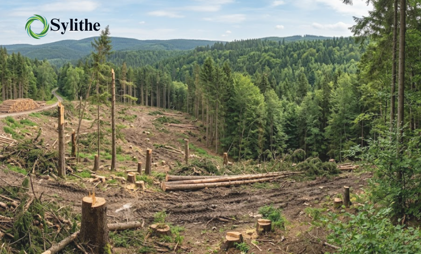
Under legacy methodologies, project developers were responsible for selecting the "reference region" used to estimate counterfactual deforestation. This allowed for the selection of regions with high historical rates that were not representative of actual threat.
Why Baselines Determine Everything in REDD+
In REDD+ markets, the baseline is not a technical detail. It is the economic engine. Carbon credits are issued based on the difference between what actually happened and what would supposedly have happened without the project.
If the projected deforestation risk is high, the project generates more credits. VM0048 removes the incentive for aggressive risk assumptions by separating project developers from baseline generation itself.
Why Legacy REDD+ Lost Institutional Trust
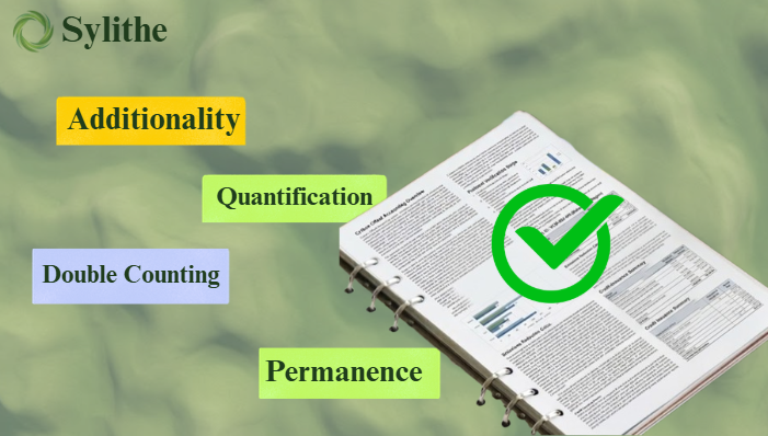
The credibility crisis emerged because institutional buyers questioned whether the quantity of credits issued accurately reflected measurable climate impact. VM0048 is Verra’s response to concerns around inflated baselines, leakage, and permanence uncertainty.
Developer-constructed baselines. Systematic upward pressure on baseline estimates. Integrity assessments frequently questioned the environmental integrity of some legacy REDD+ credits, leading to substantial market discounts in certain cases.
Independent jurisdictional risk allocation. Data Service Providers (DSPs) produce risk maps for entire jurisdictions. Conflict of interest is structurally eliminated.
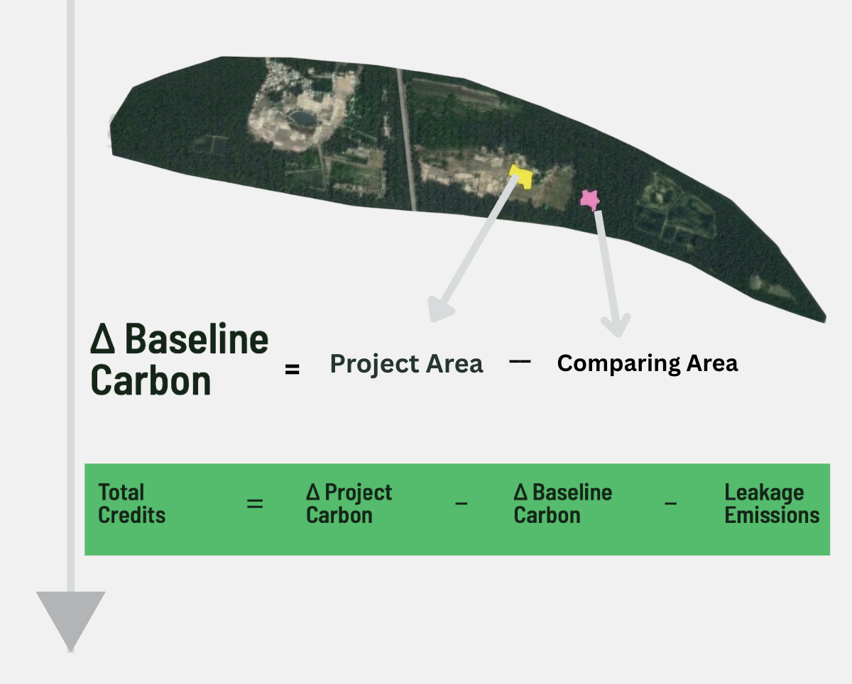
The Shift to Jurisdictional Baselines
The core innovation of VM0048 is the mandatory use of Allocated Deforestation Risk Maps. A DSP constructs a spatially explicit model across an entire jurisdiction, and individual projects receive an allocated score.
How Allocated Deforestation Risk Maps Work
Allocated Deforestation Risk Maps are spatial models that estimate the probability of future forest loss across an entire jurisdiction. Rather than allowing each project to define its own reference region, VM0048 assigns risk using a standardized regional framework.
These models typically incorporate variables such as proximity to roads, population centers, historical forest loss, agricultural expansion pressure, topography, and protected area status.
Projects receive an allocated share of jurisdictional risk rather than generating independent baseline assumptions. This creates consistency across projects operating within the same landscape.
Why Jurisdictional Accounting Changes the Entire Market
Under VM0048, projects become components of a larger jurisdictional carbon accounting system. This attempts to solve leakage by modeling deforestation risk across an entire state or province, making it easier to detect and allocate risk systematically.
Elimination of Developer Conflict: The entity producing the baseline data is now independent of the entity benefiting from it.
Jurisdictional Accounting Consistency: Aggregate credit volume from all projects is bounded by the jurisdictional deforestation estimate.
6-Year Revision Cycles: Maps are updated frequently to ensure the baseline stays relevant to current land-use pressures.
VMD0055: The Module for Avoiding Unplanned Deforestation
VMD0055 handles Avoiding Unplanned Deforestation (AUD) by using spatial predictor variables distance to roads, settlements, and existing frontiers to produce statistical probability models.
Why Credit Volumes May Fall Significantly
One of the most immediate consequences of VM0048 is lower overall issuance volumes. This reduction is an integrity objective, achieved through conservative risk allocation and independent DSP modelling.
Developers may generate fewer credits overall, but those credits command higher institutional demand and stronger long-term pricing resilience due to their defensibility.
Mandatory Uncertainty Quantification
Under VM0048, if monitoring data carries a high error margin, you must subtract that uncertainty from your credit claim. This is known as the Root-Sum-Squared (RSS) approach.
RSS combines multiple independent uncertainty sources into a single overall uncertainty estimate. Rather than adding errors directly, each uncertainty component is squared, summed, and then square-rooted. This prevents excessive double-counting while maintaining statistical conservatism.
Common uncertainty sources include biomass estimation error, land-cover classification error, activity data uncertainty, and sampling error. Projects with lower uncertainty retain a larger proportion of their potential credit volume.
Mandatory Uncertainty Quantification Changes Incentives
VM0048’s uncertainty requirements connect monitoring quality to financial outcomes. Higher measurement uncertainty leads directly to lower credit issuance, turning high-quality dMRV infrastructure into a financial necessity.
Why dMRV Becomes Core Infrastructure
VM0048’s architecture favors continuous monitoring and machine-verifiable evidence chains. Satellite-based dMRV systems provide the repeatability and independent observability needed for institutional integrity expectations.
Estimated 25%+ credit deduction from RSS uncertainty penalty. Projects with legacy monitoring infrastructure face significant volume losses.
Uncertainty deduction approaches the minimum threshold. High-accuracy platforms allow projects to capture near-full credit value.
Activity-Based Integrity: Proving Real Impact
VM0048 introduces activity-based crediting, allowing developers to demonstrate additionality through verifiable conservation actions like ranger patrols and fire management.
Activity-Based Crediting Reflects a Deeper Shift
Projects are no longer evaluated only by hypothetical forest loss scenarios. They are evaluated by observable operational management quality, pushing REDD+ closer to a measurable land stewardship model.
Patrol Operations: Documented ranger patrol hours and GPS tracks serve as verifiable evidence of active protection.
Fire Management: Recorded firebreak maintenance corroborated by satellite fire data.
Community Engagement: Benefit-sharing disbursements and FPIC documentation required for high-integrity ratings.
Near-Real-Time Monitoring: disturbance alerts and incident response logs demonstrating active surveillance.
Why Institutional Buyers Prefer VM0048-Aligned Projects
Large buyers face growing scrutiny around offset quality. VM0048-aligned projects are viewed as structurally safer because baseline manipulation risk is reduced and uncertainty is quantified explicitly.
The Long-Term Direction of REDD+
VM0048 represents part of a broader market transition toward jurisdictional accounting, continuous dMRV, and sovereign accounting alignment. The projects best positioned are those already building scalable monitoring infrastructure.
The VM0048 Transition Pathway
Identify the applicable DSP and obtain the allocated risk map.
Assess map accuracy; reprocess imagery if below 90%.
Implement RSS propagation across all monitoring estimates.
Establish digital audit trails for patrols and community records.
How Sylithe Adapts Automatically
Sylithe’s verification infrastructure integrates VM0048 data demands directly. We automate jurisdictional mapping overlays and calculate pixel-level RSS uncertainty to maximize your issuance.
VM0048 is more than a methodology revision. It is a structural redesign of how avoided deforestation claims are quantified, monitored, and trusted.
The framework intentionally sacrifices issuance simplicity for stronger institutional credibility. For developers, the shift represents the movement from assumption-based carbon accounting toward continuously verifiable environmental evidence.
The future of REDD+ will belong to projects capable of proving their climate impact with the highest degree of defensible precision.
What VM0048 Means for Carbon Project Developers
VM0048 fundamentally changes how REDD+ projects are designed, monitored, and financed. Developers must now focus on monitoring quality, uncertainty reduction, and activity documentation rather than optimizing baseline assumptions.
Projects with strong remote sensing workflows, digital MRV systems, and transparent evidence chains are likely to adapt more successfully to the new framework.
Master the VM0048 Transition
Is your project ready for VM0048? Contact the Sylithe policy desk for a readiness assessment and jurisdictional risk map analysis.
Key Takeaways & Metrics
A summary of the core concepts discussed in this article.
| Concept | Relevance | Impact Level | Status |
|---|---|---|---|
| Methodology | Core to accurate MRV | High | Active |
| Integrity | Essential for credit value | Critical | Mandatory |
| Technology | Enables scale | High | Growing |
Data synthesized from Sylithe Research.