For most of the carbon market's existence, the physical truth of a forest was known only to the people who walked into it. Verification meant field teams sampling plots every few years and extrapolating to the total carbon stock. It was slow, expensive, and periodic rather than continuous.
Satellite-based digital MRV (dMRV) is the answer not as an adjunct to field verification, but as its operational replacement for the continuous monitoring functions that the carbon market requires.
The shift toward satellite MRV is happening because the carbon market itself has changed. Ten years ago, most buyers were satisfied with periodic audits and static PDF reports. Today’s institutional buyers especially aviation compliance and sovereign programs operate under a completely different level of scrutiny.
A carbon credit is increasingly treated as a financial instrument rather than a symbolic climate gesture. That means the evidence supporting the asset must be continuous, independently observable, timestamped, and scalable across millions of hectares. The old verification architecture was never designed for that level of institutional pressure.
The legacy of tape measures: what manual verification built
Manual verification produced the intellectual foundation on which digital MRV is built. The allometric models and spatial sampling designs all trace their roots to field science.
Field science remains essential. Ground measurements still play a critical role in calibration and biomass modelling. The future is not “satellites versus ecologists.” It is field science providing calibration truth combined with orbital systems providing continuous observation at scale.
This distinction matters because dMRV technology amplifies ecological expertise by allowing scientific models to operate continuously across landscapes too large for manual observation alone.
The problem is not the science. It is the operational architecture. Manual verification is a batch process in a world that requires continuous monitoring.
Climate risk itself has become continuous. Forests are exposed to faster fire cycles and illegal encroachment at frequencies far beyond what traditional audit schedules were built to handle. In today’s climate reality, five years can completely transform a landscape.
The periodic snapshot: Field teams visit a sample of plots every 3–5 years. Between visits, the project is unobserved.
The continuous stream: Sentinel-1 acquires radar imagery every 6 days. The dMRV system is never "between audits" it is always observing.
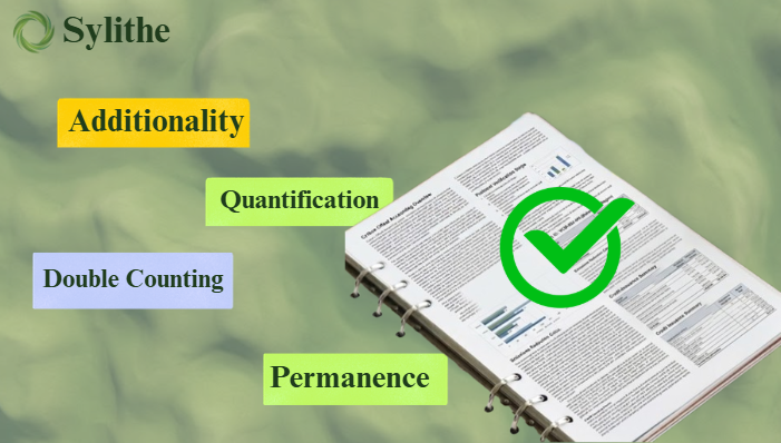
The statistical failure of sample-plot auditing
The core structural weakness of manual verification is spatial. Field teams can only observe a tiny fraction of the landscape and extrapolate from it.
The issue is not simply that sample sizes are small. The deeper problem is that environmental loss is rarely random. Deforestation often occurs near roads or along agricultural edges. These patterns can easily evade sparse sampling systems. Continuous satellite coverage has become increasingly important for high-integrity monitoring.
0.5% spatial coverage the 99.5% blind spot
A manual audit might involve direct observation of only 0.015% of the total area. The remaining 99.985% is inferred, missing non-random deforestation patterns.
Institutional Pressure
Institutional buyers now ask: “How can a market confidently issue millions of credits from landscapes that are only directly observed in tiny fragments?” This is driving the move toward direct, repeated observation.
5-year temporal blind spots
Between verification cycles, a project operates on trust. Credits issued in Year 2 or 3 represent claims about a forest that has not been formally observed since Year 0.
Cost scaling barriers
Mobilizing field teams creates linear cost scaling that makes small and medium-sized projects economically unviable under thorough audit regimes.
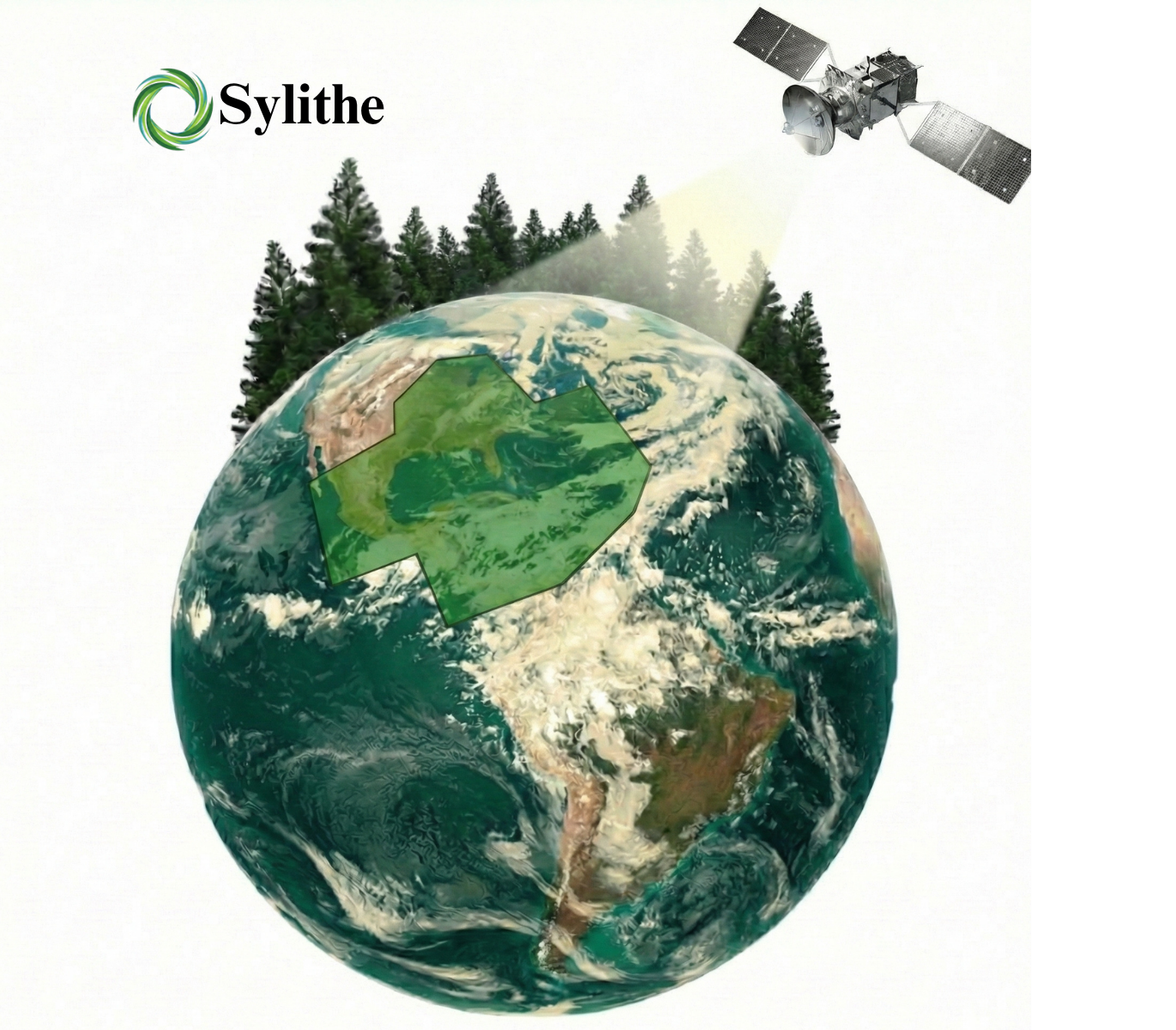
The signal chain: from photon to carbon credit
Understanding how satellite dMRV works requires following the data from its physical origin through the processing pipeline.
One of the most important aspects of satellite dMRV is that no single sensor operates perfectly in isolation. The power comes from sensor fusion: multiple observation systems validating and correcting each other simultaneously.
Sentinel-2 measures reflected sunlight across 13 spectral bands. Tracks vegetation health at 5-day repeat.
Sentinel-1 SAR transmits microwave pulses to record canopy roughness. Operates through cloud and smoke with 6-day global repeat.
GEDI LiDAR fires laser pulses from the ISS to measure top-of-canopy height, providing the structural input for biomass calculations.
Artificial intelligence becomes critical at this stage. Modern dMRV systems process disturbances, fire alerts, and biomass changes continuously across massive geographic regions. AI enables anomaly detection at speeds impossible through manual workflows.
"Satellites don't have incentives. They only have sensors. The orbital intelligence layer produces empirical evidence about the physical state of forests evidence that is objective and reproducible."
Digital twins: the real-time ledger of nature
The most conceptually significant advance is the Digital Twin. A Digital Twin is a continuously updated, high-fidelity 3D representation of a specific forest that exists as a live data structure.
The concept of the Digital Twin may eventually become foundational to environmental markets. Buyers interact with living digital environments that reflect the observed condition of the underlying ecosystem. A forest stops being a claim on paper and becomes an observable digital asset.
- 3D structural representation: Volumetric models of canopy height and density at every pixel.
- Continuous temporal updating: Every satellite overpass adds a new observation to the time series.
- Immutable audit trail: Every classification decision and change event is logged with satellite ID and acquisition time.
- Compliance Readiness: As carbon markets become more regulated, buyers and regulators will increasingly expect reproducible evidence chains and transparent data provenance, which a digital twin naturally supports.
The economic shift: decoupling cost from scale
Manual verification creates a cost structure that scales with area. Satellite dMRV decoupling cost from scale may be one of the most underestimated climate finance developments of the decade.
Historically, small projects struggled because verification costs consumed too much of the economics. Continuous satellite infrastructure reduces monitoring costs dramatically, allowing smaller community and indigenous-led projects to participate.
Democratising access
Reducing costs from $10/ha to $0.50/ha makes community-led restoration viable across the Global South.
Portfolio-scale monitoring
Centralised infrastructure allows monitoring dozens of projects simultaneously. Risk can be assessed at the portfolio level.
Unlocking the integrity premium
Institutional buyers pay a 30–50% premium for credits backed by continuous satellite data. Transparency itself is becoming a valuable characteristic of carbon assets.
Reducing insurance costs
Continuous monitoring closes the "reversal gap," making assets more financeable.
The transition timeline: where the market is heading
The transition away from manual-only verification is unlikely to happen overnight. Many markets will continue operating in hybrid systems where field science and satellite monitoring work together.
But directionally, the market is moving toward continuous observability as the new integrity standard. Early adopters gain pricing advantages and stronger long-term buyer confidence.
The future of carbon verification is not simply more automation. It is a redefinition of how environmental truth is observed.
Manual verification built the foundation, but the scale and significance of modern climate systems now require continuous environmental intelligence operating at planetary scale. Satellite dMRV represents that transition.
The market is moving from occasional observation toward persistent visibility. In a financial system built around climate integrity, visibility itself becomes value.
Transition to Continuous MRV
Still on five-year audit cycles? Contact Sylithe to begin your transition to continuous satellite dMRV in weeks, not years.
Key Takeaways & Metrics
A summary of the core concepts discussed in this article.
| Concept | Relevance | Impact Level | Status |
|---|---|---|---|
| Methodology | Core to accurate MRV | High | Active |
| Integrity | Essential for credit value | Critical | Mandatory |
| Technology | Enables scale | High | Growing |
Data synthesized from Sylithe Research.