 New
New
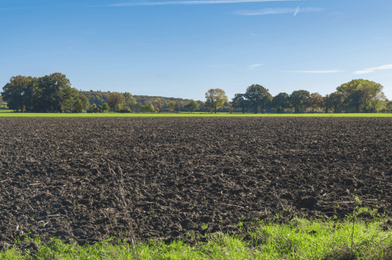
Picture two carbon projects. The first is a forest. From a satellite, you can count the trees, measure the canopy height, and watch the biomass grow year over year. The second is a five-hundred-hectare farm that switched to no-till cultivation and cover cropping to build soil organic carbon. There is nothing to photograph. The carbon is locked inside soil aggregates, spread unevenly across the field, changing slowly enough that this year's gain can be smaller than the natural variation between two sampling points a few metres apart. This is the central problem in soil carbon MRV. Soil holds more carbon than the atmosphere and all of the world's vegetation combined, and regenerative practices genuinely can increase how much of it stays there. But turning that physical reality into a carbon credit requires measuring a change that is small, slow, and buried — with enough statistical confidence that a registry, an auditor, and a buyer will all trust the number. That is why measurement uncertainty, not the amount of carbon soils can theoretically store, has become the single biggest barrier standing between soil carbon and the scale voluntary and compliance markets expect from it.
What Is Soil Carbon MRV?
Soil carbon MRV is the process of measuring, reporting, and verifying changes in soil organic carbon (SOC) stocks that result from a change in land management — practices such as reduced tillage, cover cropping, agroforestry, improved grazing, or organic amendments.
For a credit to be issued, a project has to establish a credible answer to one question: how much additional carbon is now stored in this soil, compared to what would have been stored under business-as-usual management? Answering that requires a baseline measurement, a follow-up measurement after enough time has passed for a detectable change to occur, and a defensible estimate of the uncertainty around both.
What Soil Carbon MRV Has to Establish
- A statistically valid baseline SOC stock before the practice change.
- A follow-up SOC stock, measured consistently, after a monitoring period.
- The depth interval the change was measured across (commonly 0–30 cm, though carbon can shift at greater depths).
- The spatial variability across the project area, so a handful of samples can represent thousands of hectares.
- A quantified confidence interval around the estimated change — not just a single number.
That last requirement is where soil carbon MRV diverges sharply from forest MRV. A forest project can show a canopy height model and a biomass map. A soil project has to show its work statistically, because the underlying signal is small relative to the noise around it.
Why Soil Carbon Is Fundamentally Harder to Measure Than Forest Carbon
Trees are visible, discrete, and largely stationary. A canopy height model built from LiDAR or satellite stereo imagery can estimate above-ground biomass across an entire project area with a manageable and well-understood error margin, because the object being measured — a tree — has a consistent, well-studied relationship between height, crown size, and carbon content.
Soil carbon has none of those advantages. It cannot be observed remotely with anything close to the same precision. It is distributed through a three-dimensional volume rather than sitting on a visible surface. It changes as a small percentage shift in an already-noisy background stock, rather than as new, additional material that can be counted. And the practices that build it — a cover crop here, a change in tillage depth there — interact with soil type, rainfall, temperature, and years of prior land-use history in ways that are difficult to fully disentangle.
A forest project measures something new. A soil carbon project measures a small change inside something that was already there — and that difference is what makes the uncertainty problem so persistent.
The Core Sources of Measurement Uncertainty
Uncertainty in soil carbon MRV is not one problem — it compounds from several independent sources, each of which adds its own margin of error before a project ever reaches the registry.
1. Spatial Heterogeneity
Soil organic carbon can vary substantially across a single field, driven by microtopography, historic drainage patterns, past fertilizer or manure application, compaction from machinery, and even where a fence line or tree line once stood decades ago. Two sampling points a few metres apart can return meaningfully different carbon concentrations. Because of this, a small number of samples per field can easily miss the true field-level average, and the only reliable fix — sampling more densely — directly increases cost.
2. Sampling Depth Inconsistency
Most soil carbon protocols measure a fixed depth interval, commonly the top 30 centimetres, because that is where management-driven change is most detectable and where sampling is most practical. But carbon can also shift at greater depths, particularly under deep-rooted cover crops or agroforestry systems, and it is not always captured by shallow sampling. Depth also interacts with bulk density — soil compaction changes how much soil mass sits within a given depth interval, so an inconsistent depth or compaction reading can distort the carbon stock calculation even when the carbon concentration itself is measured correctly.
3. Temporal and Seasonal Variability
Soil carbon does not sit still throughout the year. Moisture content, recent tillage, root activity, and microbial decomposition all cause short-term fluctuations that have nothing to do with the multi-year management change a project is trying to detect. Sampling in different seasons, or in a wet year versus a dry one, can introduce noise that is easily mistaken for — or that masks — a genuine long-term trend.
4. Bulk Density Errors
Carbon stock is not just a concentration — it is concentration multiplied by soil mass, which depends on bulk density. Bulk density is measured separately from carbon concentration, often with less rigor, and errors here propagate directly into the final stock estimate. A modest bulk density error can shift the calculated carbon stock by a margin larger than the actual multi-year change the project is trying to prove.
5. Laboratory and Analytical Variability
Even once a physical sample reaches a laboratory, the analytical method matters. Dry combustion methods are considered the reference standard, but faster and cheaper proxy methods are common at scale, and results are not always perfectly consistent across labs, instruments, or calibration standards. For projects sending thousands of samples to different labs over multiple years, small systematic differences can accumulate into a measurable source of bias.
6. Confounding Land-Management History
Soil carbon responds to decades of prior management, not just the practice change a project introduces. Previous crop rotations, historic drainage, past erosion, and even the specific field's cropping intensity all shape the starting baseline and the rate at which carbon accumulates afterward. Separating the effect of a new practice from this long management history adds another layer of uncertainty that forest projects, which typically start from a clearer land-cover baseline, do not face in the same way.
Why Uncertainty Directly Reduces Credit Value
Measurement uncertainty is not just a scientific footnote — it has a direct, mechanical effect on how many credits a project can issue.
Carbon standards generally do not allow a project to issue credits for its single best estimate of carbon gained. Instead, methodologies require the estimate to be adjusted downward based on the statistical confidence around it — the wider the uncertainty range, the larger the deduction applied before credits are issued. In practice, this means two projects that sequester the same true amount of carbon can end up with very different numbers of tradable credits, simply because one measured with tighter statistical confidence than the other.
Uses a well-designed, sufficiently dense sampling grid, consistent depth and lab protocols, and multi-year data. Its estimated carbon gain is narrow and well-supported, so a smaller uncertainty deduction applies and more of the true carbon gain converts into issued credits.
Relies on sparse sampling, inconsistent depths, and a single measurement round. Its estimated carbon gain carries a wide confidence interval, triggering a larger conservative deduction — even if the true underlying carbon gain is identical to Project A's.
This is why measurement uncertainty behaves like a tax on project revenue. Investing in better MRV does not just satisfy an auditor — it changes the number of credits that reach the market from the exact same field.
Two Approaches to Quantifying Soil Carbon
Projects generally choose between two broad strategies for estimating soil carbon change, and most credible modern methodologies now combine both.
Direct Measurement: Physical Sampling and Lab Analysis
This is the most defensible approach in principle. Field teams extract soil cores at a statistically designed set of locations and depths, and laboratories analyse carbon concentration and bulk density directly. Done well, this produces high-confidence, auditable numbers. Done at the sampling density genuinely required to control for spatial heterogeneity across a large or fragmented landscape, however, it becomes expensive — often prohibitively so for smallholder or aggregated projects with many small parcels rather than a few large, contiguous fields.
Process-Based and Machine-Learning Models
An alternative is to model soil carbon change using biogeochemical process models or machine-learning approaches trained on climate, soil type, management records, and satellite-derived indicators such as vegetation indices. Models can extrapolate across large areas far more cheaply than physical sampling, but they are only as good as the data used to calibrate and validate them, and their outputs still need to be grounded against real soil samples to be credible to registries and buyers.
High confidence per sample point. Auditable and standards-preferred. Cost and logistics scale poorly across large or fragmented project areas, limiting how densely a project can realistically sample.
Scales efficiently across large areas at low marginal cost. Requires strong calibration against physical samples and transparent uncertainty reporting to be accepted by registries and buyers.
The Cost Barrier Behind Soil Sampling at Scale
The economics of physical soil sampling are a large part of why measurement uncertainty persists as a market-wide problem rather than something individual projects can simply spend their way out of.
- Field labour to extract cores at the right depth, at enough points, across every enrolled field.
- Sample transport, storage, and chain-of-custody handling before analysis.
- Laboratory analysis for carbon concentration and, separately, bulk density.
- Repeat sampling every few years to detect a statistically meaningful change.
- Statistical design and quality assurance to make the sampling density defensible to a registry.
For a large, contiguous farm, these costs can be manageable relative to the credits generated. For a project aggregating thousands of smallholder plots — the more common reality across much of India and other emerging carbon markets — the same sampling density applied per hectare can make the MRV cost larger than the credit revenue it is meant to support.
How Digital MRV Narrows the Uncertainty Gap
Digital MRV does not eliminate the need for physical soil sampling — soil carbon still has to be grounded in real measurements. What it changes is how few samples are needed to represent a large and variable area with confidence.
Where Remote Sensing and Modelling Help
- Stratifying a project area by soil type, terrain, and management history so sampling can be targeted at genuinely different zones rather than spread evenly and inefficiently.
- Using satellite-derived vegetation and management indicators to track practice adoption between physical sampling rounds.
- Building digital soil maps that interpolate between sample points using terrain and remote-sensing covariates, narrowing the area each physical sample has to represent.
- Flagging fields where management appears inconsistent with reported practices, so limited sampling budget is directed where it matters most.
- Maintaining a continuous, auditable record of practice adoption that strengthens the case behind a periodic soil measurement.
The goal of this hybrid approach is not to replace laboratory measurement with a model. It is to make every physical sample count for more — reducing how many cores are needed to reach the same statistical confidence, and therefore reducing both cost and uncertainty at once.
Statistical Techniques Used to Manage Uncertainty
Beyond collecting more data, well-designed soil carbon projects use statistical methods to make the most of the data they can afford to collect.
- Stratified sampling designs that concentrate samples where soil and management variability is highest, rather than sampling uniformly.
- Minimum sample-size calculations tied to the variability actually observed in the project area, instead of a fixed number chosen for convenience.
- Confidence-interval reporting alongside the central estimate, so registries can apply an appropriately sized deduction rather than an arbitrary one.
- Paired baseline and control plots, where feasible, to separate the effect of the practice change from background year-to-year variability.
- Conservative discounting of the estimated carbon gain when uncertainty cannot be reduced further within a project's budget.
How Carbon Standards Address Measurement Uncertainty
Major methodologies for soil carbon — including approaches used under Verra's VCS program and various agricultural soil carbon protocols — explicitly require uncertainty to be quantified and factored into credit issuance, rather than treated as an afterthought. Projects that cannot demonstrate adequate sampling density or model validation are typically required to apply larger conservative deductions, sometimes significant enough to change whether a project is financially viable at all.
This mirrors how carbon standards treat other integrity risks. In the same way that registries require buffer pool contributions to manage reversal risk, they require uncertainty deductions to manage measurement risk. Both mechanisms exist for the same underlying reason: a credit should represent a conservative, defensible estimate of real climate benefit, not an optimistic one.
Why This Matters for Scaling Soil Carbon Projects in India
India's agricultural landscape is dominated by smallholder farms, which makes the measurement-cost problem particularly acute. A project aggregating thousands of small, often non-contiguous plots across varying soil types cannot rely on the same dense physical sampling grids that work for a handful of large commercial farms elsewhere. At the same time, India's soils — and the sheer scale of its cropland — represent one of the largest potential soil carbon opportunities globally, provided MRV costs can be brought down without sacrificing the statistical confidence registries require.
This is precisely the gap that hybrid, satellite-informed MRV is designed to close: making it economically realistic to monitor soil carbon across large numbers of small, fragmented parcels with a level of confidence that would otherwise require sampling densities the underlying economics cannot support.
Where Sylithe Fits
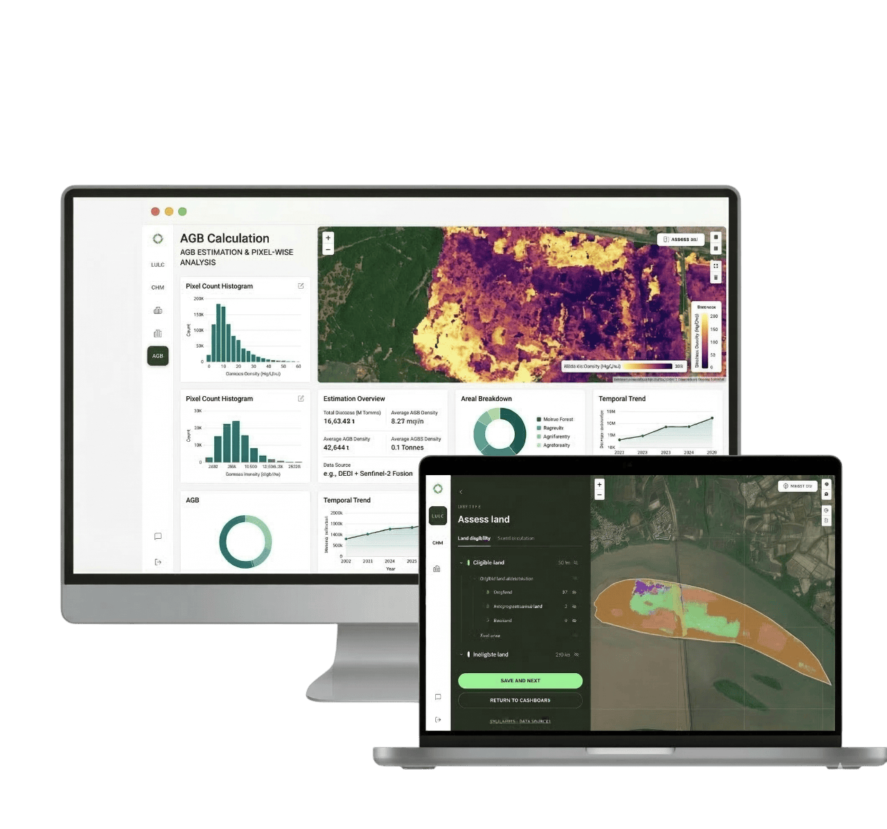
Sylithe's digital MRV platform is built to reduce exactly this gap between what rigorous soil carbon measurement requires and what is economically achievable at scale. By combining satellite-derived land-use and vegetation data, terrain and soil covariates, and structured field-sampling workflows, Sylithe helps project developers design statistically sound sampling strategies, track practice adoption continuously between sampling rounds, and assemble the transparent, uncertainty-quantified evidence that registries and buyers increasingly expect.
The objective is not to replace the soil sample — it is to make sure every sample collected does as much statistical work as possible, so that soil carbon projects can scale without asking farmers, developers, or buyers to absorb costs the underlying measurement problem was never designed to bear.
Key Takeaways
Soil carbon MRV is fundamentally harder than forest carbon MRV because the signal being measured is small, buried, and highly variable in space and time. Spatial heterogeneity, depth inconsistency, seasonal variability, bulk density error, lab variability, and confounding management history all compound into a measurement uncertainty that directly reduces how many credits a project can issue. Dense physical sampling remains the most defensible approach, but its cost breaks down at scale — especially across fragmented smallholder landscapes. Hybrid MRV, which pairs targeted physical sampling with satellite data, digital soil mapping, and statistical modelling, is emerging as the practical path to soil carbon projects that are both scientifically credible and economically viable.