 New
New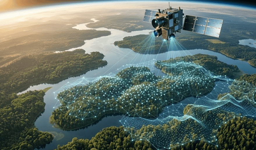
A foundation model trained on 1 million satellite images can classify a new forest in Papua New Guinea with almost no local training data. That changes the economics of global MRV permanently.
The 'ChatGPT moment' for remote sensing has arrived. For the last decade, AI in carbon monitoring was a 'Boutique' process: if you wanted to monitor a forest in the Western Ghats, you had to manually label thousands of satellite images of that specific forest to train a model. If you moved 500km to a different forest type, your model often broke.
Geospatial Foundation Models (GFMs) change this. By training on massive, global datasets without needing labels, these models learn universal features of the Earth's surface. They are 'zero-shot' or 'few-shot' learners, meaning they can generalize to new geographies with minimal help. For the carbon market, this means we can finally scale high-integrity monitoring to every corner of the planet without the multi-year delay of traditional model development.
The Architecture of Understanding: Why Foundation Models Work
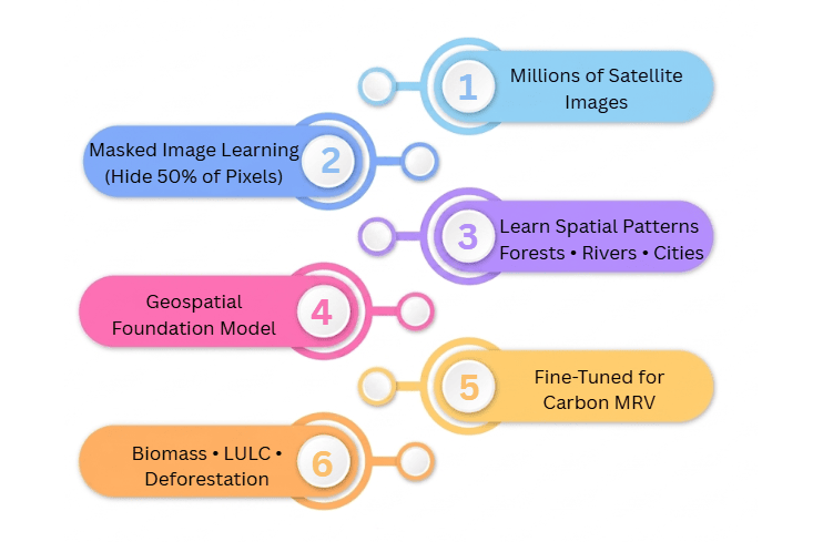
Standard models use 'Supervised Learning'. You show it a picture of a forest and say 'This is a forest'. It learns to find patterns that match that label. Foundation models use 'Self-Supervised Learning' (SSL). One common technique is 'Masked Autoencoding': you take a satellite image, hide 50% of the pixels, and ask the model to predict what's missing.
To fill in the blanks, the model has to understand the structure of a forest, the path of a river, and the grid of a city. It builds a deep, multi-dimensional representation of the Earth. When we later tell it 'By the way, this texture represents 200 tonnes of carbon', it already has the context to understand why.
Why Foundation Models Matter More for MRV Than Traditional CNNs
For the last decade, remote sensing relied on Convolutional Neural Networks (CNNs). While effective for narrow tasks, CNNs are inherently brittle. If you trained a CNN to detect deforestation in the Amazon, and then applied it to the Congo Basin, it would likely fail. It hadn't learned what a forest is; it had only learned what an Amazonian forest looks like in your specific training data.
Foundation models fundamentally flip this paradigm. Because they are pre-trained on massive, global, unlabeled datasets, they develop a generalized understanding of the Earth's surface before they ever see a human-generated label. This means when they are finally fine-tuned for a specific task like biomass estimation or deforestation detection, they require exponentially fewer labeled examples and demonstrate unprecedented transferability across different biomes.
CNN Era vs. Foundation Model Era
| Attribute | Traditional CNNs | Foundation Models |
|---|---|---|
| Approach | Project-specific | Global pretraining |
| Data Requirements | Thousands of labels | Few labels |
| Transferability | Weak transferability | Strong transferability |
| Workflow | Train from scratch | Fine-tune |
Zero-Shot vs Few-Shot Learning Explained
As we discuss foundation models, you will frequently hear the terms 'Zero-Shot' and 'Few-Shot'. In traditional Machine Learning (ML), thousands of labeled examples are required just to get a model to function passably. Foundation models bypass this massive bottleneck.
Zero-Shot Learning occurs when a model evaluates a geography it has never explicitly been trained on. Because of its massive pre-training phase on global satellite imagery, it can often make highly accurate predictions (like distinguishing forest from non-forest) without needing a single local data point.
Few-Shot Learning is the next level of refinement. The model adapts to a specific, complex local task (like estimating carbon tonnage in a specific Indian agroforestry project) using only a very small number of labeled samples. This drastically reduces the field data collection burden, lowering MRV costs and accelerating project deployment.
Prithvi vs SatlasPretrain vs SpectralGPT: Which Model Is Best for Forest Carbon?
Several major players have released open-source foundation models that are now the 'Operating Systems' for modern remote sensing. Here is how the top models compare when applied to forest carbon MRV workflows:
Geospatial Foundation Models Comparison
| Model | Creator | Primary Strength | Best Use Case in MRV |
|---|---|---|---|
| Prithvi | NASA / IBM | Temporal awareness | Land-cover change, agricultural cycles |
| SatlasPretrain | Allen Institute | Spatial detail | Individual tree detection, agroforestry |
| SpectralGPT | Various | Spectral signatures | Tree species ID, forest health monitoring |
1. Prithvi (NASA / IBM)
Prithvi is the most 'scientifically rigorous' model. Trained on the Harmonized Landsat Sentinel (HLS) dataset, it understands the relationship between different satellite sensors. It is particularly strong at identifying agricultural cycles and land-cover change. Its main advantage is its temporal awareness it sees how pixels change over time.
2. SatlasPretrain (Allen Institute for AI)
SatlasPretrain was pre-trained on over 300 million Sentinel-2 images. SatlasPretrain is particularly effective at extracting fine-grained spatial features from medium-resolution imagery and improving downstream mapping performance. For carbon projects where individual tree detection is needed (like agroforestry), Satlas is a game-changer.
3. SpectralGPT
While most models focus on the 'Shapes' in an image, SpectralGPT focuses on the 'Spectral Signature'. It is designed for hyperspectral data, which has hundreds of light bands. This is critical for tree species identification and forest health monitoring, where the chemical signature of the leaves matters as much as the shape of the canopy.
How Sylithe Fine-Tunes Foundation Models for Carbon MRV
A foundation model is a 'Generalist'. It knows what a forest looks like, but it doesn't know the exact biomass density of a teak plantation in Odisha. At Sylithe, we use a process called 'Parameter-Efficient Fine-Tuning' (PEFT).
Why It Matters
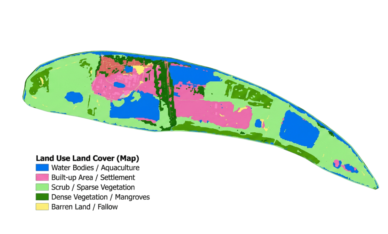
- Domain Adaptation: We take a global model (like Clay) and show it 10,000 ground-truth forest plots from across India. It "specializes" its knowledge for the Indian biome.
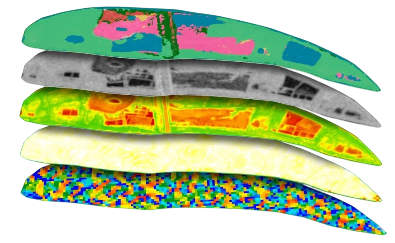
- Sensor Fusion: Foundation models are often optical-only. We add a "Radar Head" to the model, allowing it to integrate Sentinel-1 SAR data. This is how we detect deforestation through cloud cover.
- Uncertainty Calibration: Standard AI models are "overconfident". We calibrate the model to output a confidence score for every pixel. If the model is unsure, we flag it for human audit.
The Limitations: Why Humans Are Still in the Loop
Despite the hype, foundation models are not 'Magic Buttons'. There are three reasons why they cannot yet replace expert MRV teams entirely.
First, they are prone to 'Hallucination' in rare biomes. If a model has seen 1 million images of European forests and only 1,000 of Indian Shola forests, it will try to 'interpret' the Shola forest as a European one, leading to massive biomass errors. Second, they are computationally expensive. Running a foundation model over the entire state of Madhya Pradesh every week requires massive GPU infrastructure. Third, they lack 'Physical Constraints'. An AI might predict that a tree grew 50 meters in one year. A human expert (or a physics-constrained model) knows that's impossible.
The Future: Toward a "Global Digital Twin" of Forests
We are moving toward a world where the Earth has a 'Digital Twin' that is updated daily. Foundation models are the 'Brain' of this twin. They allow us to move from 'Snapshot Audits' to 'Continuous Observability'. For a carbon credit buyer, this means the risk of 'Phantom Credits' drops to near zero, as the forest is being verified every single time a satellite passes overhead.
“The bottleneck is no longer the AI — it is the quality of the ground-truth data.”
Integrate Foundation Models into your MRV
Sylithe is the leader in fine-tuning geospatial foundation models for the Indian context. We help project developers and credit buyers use models like Prithvi and Clay to reach institutional-grade accuracy with minimal field costs. If you are ready to upgrade your monitoring from 2010s CNNs to 2026 Foundation Models, let's talk.